
Business Details
47 Years
experience
Expert Land Surveying Services in Shrewsbury
Established in 1979, we are leading land surveyors based in Shropshire, covering all local and nationwide work. Our company was founded by Iain Macdonald with a vision to deliver precise mapping and engineering services to the design, construction, and property industries. Over four decades, we have built a reputation for excellence through our commitment to quality and innovation. Our experienced team has worked on diverse projects, from small local surveys to large-scale developments across the UK. We utilise advanced GPS/GNSS systems and topographical techniques to ensure accuracy in every task.As an ISO 9001-certified business, we adhere to rigorous quality control standards. Our services include topographical surveys, measured building surveys, hydrographic surveys, and precise levelling. We pride ourselves on providing competitive quotes without compromising on precision or reliability. Our base in the Shropshire Hills allows us to serve clients efficiently while maintaining a deep connection to our local community. Whether working on residential boundaries or major infrastructure projects, we guarantee tailored solutions that meet exact specifications.
Services
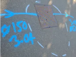
Topographical Surveys
Measured Building Surveys
Hydrographic Surveys
Precise Levelling
Setting Out Services
Volumetric Surveys
Railway Surveys
Utility Surveys
Details
- Year established: 1979
Highlights and features
- We have over 40 years of experience in land surveying
- Our ISO 9001 certification guarantees quality control
- We operate both locally in Shropshire and nationwide
- We provide competitive quotes with no hidden costs
- We use advanced GPS/GNSS systems for accurate results
Associations and certifications
- ISO 9001
Services
Topographical Surveys
We conduct detailed topographical surveys to map site features and elevations. Our GPS/GNSS technology captures accurate terrain data for construction and development projects. This service supports engineers and architects with precise ground-level information for planning and design.
Measured Building Surveys
Our measured building surveys create detailed architectural plans of existing structures. Using laser scanning and traditional methods, we document dimensions and features for renovation or compliance purposes. This service ensures accurate records for property management and redevelopment.
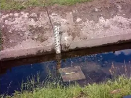
Precise Levelling
We perform precise levelling to determine height differences between ground points. Our equipment establishes benchmarks for construction projects and flood monitoring systems. This service guarantees accurate elevation data for infrastructure and environmental applications.
Setting Out Services
Our setting out services translate design plans into physical markers on-site. We use total stations to position features like roads, buildings, and utilities with millimetre accuracy. This service ensures construction aligns perfectly with approved designs.
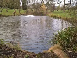
Hydrographic Surveys
We conduct hydrographic surveys to map underwater terrain and watercourse features. Our sonar technology captures riverbed and reservoir data for environmental assessments and engineering projects. This service supports flood risk analysis and aquatic infrastructure planning.
People
Iain Macdonald
Founder
Iain Macdonald established Invar Mapping Surveys in 1979 with a focus on precision land surveying. His expertise in mapping and engineering services has driven the company's growth while maintaining strict quality standards.
Questions
What surveying services do you offer?
We provide topographical surveys, measured building surveys, hydrographic surveys, precise levelling, setting out services, and volumetric surveys for construction and engineering projects.
Do you work outside Shropshire?
Yes, while based in Shropshire, we operate nationwide and have completed projects across the UK for both large developers and local clients.
Are your surveys ISO certified?
Yes, we hold ISO 9001 certification, ensuring our surveying processes meet international quality management standards for accuracy and reliability.
What technology do you use?
We utilise GPS/GNSS systems, total stations, and laser scanning equipment to ensure high-precision data collection for all surveying tasks.
How quickly can you complete a survey?
Project timelines vary by scope, but we prioritise efficient data collection and reporting while maintaining strict accuracy standards for every client.