
Business Details
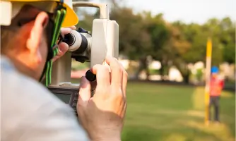
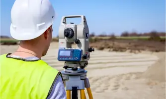
We have been operating since 1988, giving us over 35 years of surveying expertise. We employ nine dedicated survey teams whose combined experience exceeds a hundred years. We are chartered to the Chartered Institution of Civil Engineering Surveyors and adhere to current RICS standards. All our surveys are conducted inhouse using the latest Leica total stations, scanners and laser distance equipment. We utilise advanced 3D terrain modelling software to deliver comprehensive and costeffective solutions. Our services cover the United Kingdom and international projects from our central office in Ashby de la Zouch. We specialise in measured building surveys, topographic and land surveys, 3D laser scanning and hidden utility investigations.
We work closely with architects, landscape designers and planners to provide data that underpins successful project delivery. We maintain rigorous quality control and full transparency throughout every stage of data collection and processing. We are accredited by the Chartered Institute of Building and the Chartered Institution of Civil Engineering Surveyors, reinforcing our professional standards. We are committed to exceeding client expectations by delivering accurate, reliable information that enables informed decisionmaking.
We work closely with architects, landscape designers and planners to provide data that underpins successful project delivery. We maintain rigorous quality control and full transparency throughout every stage of data collection and processing. We are accredited by the Chartered Institute of Building and the Chartered Institution of Civil Engineering Surveyors, reinforcing our professional standards. We are committed to exceeding client expectations by delivering accurate, reliable information that enables informed decisionmaking.

Highlights and features
- We have over 35 years of surveying experience.
- Our nine teams hold a combined 100+ years expertise.
- We are chartered to CICES and adhere to RICS standards.
- Our surveys use the latest Leica total stations and scanners.
- We provide fully inhouse data processing for complete transparency.
Services
Measured Building Surveys
We conduct precise floorplan surveys using Leica laser distance equipment linked to specialised MBS software. The service is suitable for architects, developers and property owners of any size. Clients receive accurate asbuilt drawings that streamline planning approvals and reduce onsite errors.
Topographic Surveys
Our topographic surveys capture 3D observations with Leica electronic total stations on site. They serve architects, landscape designers and civil engineers needing detailed terrain data. The resulting Digital Terrain Model enables costeffective design, planning and risk assessment for your project.
3D Laser Scanning
We perform 3D laser scanning using Leica scanners to generate highresolution point clouds. This service benefits construction firms, heritage consultants and infrastructure managers requiring exact asbuilt models. Clients obtain fully referenced models that accelerate BIM integration and minimise rework significantly.
Measured Elevation Surveys
Our measured elevation surveys employ GPS and total stations to record precise ground heights. They are ideal for civil engineers, surveyors and floodrisk assessors needing accurate level data. Deliverables provide reliable elevation models that support design, drainage and compliance calculations.
Hidden Utility Surveys
We locate and map underground utilities using specialist detection equipment and GIS integration. The service is essential for developers, contractors and planners to avoid costly excavation damage. Clients receive detailed utility maps that enhance safety, scheduling and budgeting throughout the site.