
Business Details
Your Trusted Partner for Professional Surveying Services
First Point Surveys has established itself as a trusted partner for professional surveying services across the United Kingdom. Our expertise spans topographical surveys, measured building surveys, boundary surveys, site engineering, and deformation monitoring, all delivered with precision and reliability. Based in Yorkshire, we prioritise a personal, customer-focused approach, working closely with clients to ensure projects are completed to the highest standards of accuracy and professionalism. Our team utilises advanced technology to provide detailed data in formats such as CAD and PDF, supporting architects, developers, engineers, and property owners in making informed decisions. With a commitment to clear communication and exceptional service, we cater to both small-scale residential projects and large-scale developments.Our services include mapping land features, identifying underground utilities, resolving boundary disputes, and monitoring structural stability, ensuring comprehensive solutions for diverse surveying needs. We pride ourselves on delivering results that exceed expectations, combining technical expertise with a deep understanding of client requirements. Whether you're planning construction, infrastructure, or property management initiatives, our team is dedicated to providing the insights you need. Our reputation for precision, experience, and reliability has made us a preferred choice for surveying projects throughout Yorkshire and beyond. Contact us today to discuss how we can support your next project with confidence and expertise.
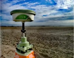
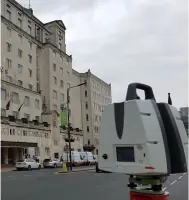
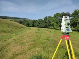
Services
Topographical Surveys
Measured Building Surveys
Underground Utility Surveys
Boundary Surveys
Site Engineering
Deformation Monitoring
Highlights and features
- We offer bespoke surveying solutions tailored to your specific project requirements.
- Our team utilises advanced technology for precise data collection and analysis.
- We provide comprehensive support for boundary disputes and Land Registry compliance.
- Our services cover Yorkshire and the wider UK with a customer-focused approach.
- We deliver detailed surveys in user-friendly formats like CAD and PDF.
Services
Topographical Surveys
Topographical surveys map land features, elevations, and contours to support planning and construction projects. We use laser scanners and drones to deliver precise CAD and PDF data for architects and developers. Our surveys ensure accurate site analysis for residential, commercial, and infrastructure developments across the UK.
Measured Building Surveys
Measured building surveys create detailed floor plans, elevations, and 3D models of existing structures. Our team uses advanced tools to capture precise measurements for renovations, refurbishments, or new designs. This service supports architects and property owners with accurate data for residential, commercial, and historical buildings nationwide.
Underground Utility Surveys
Underground utility surveys identify buried pipes, cables, and drainage systems to prevent project disruptions. We employ Ground Penetrating Radar and electromagnetic detection for accurate mapping. This service minimises risks during excavation and ensures compliance with safety standards for developers and contractors across the UK.
Boundary Surveys
Boundary surveys define property lines and resolve disputes with Land Registry-compliant documentation. We provide precise measurements and TP1 plans for legal compliance and development projects. This service supports property owners, solicitors, and developers in Yorkshire and beyond with clear boundary definitions.
Deformation Monitoring
Deformation monitoring tracks structural and ground movement to ensure safety. We use advanced equipment for real-time data on buildings, bridges, and land. This service supports infrastructure projects and environmental monitoring, offering risk management solutions for construction and engineering clients nationwide.
Questions
What surveying services do you offer?
We provide topographical surveys, measured building surveys, underground utility surveys, boundary surveys, and deformation monitoring tailored to your project needs.
Do you operate outside Yorkshire?
Yes, while based in Yorkshire, we deliver surveying services across the wider United Kingdom for residential, commercial, and infrastructure projects.
How do you ensure survey accuracy?
We use advanced technology like laser scanners, drones, and Ground Penetrating Radar to guarantee precise measurements and reliable data delivery.
Can you assist with Land Registry requirements?
Yes, we specialise in boundary surveys with Land Registry-compliant TP1 plans to resolve disputes and update property records accurately.
What formats do your survey reports come in?
Our surveys are delivered in user-friendly formats such as CAD and PDF for seamless integration into your planning and design processes.