
Business Details
38 Years
experience
Trusted Chartered Surveyors in Redruth & Exeter
Established in 1988 by Managing Director Scott Kemp, our business has grown from engineering setting out for major road projects to becoming a multi-disciplined geomatics practice. We pioneered utility surveying in the South West through our Seeka division and were among the first to adopt UAV technology for earthworks measurement. Our team operates across the UK, combining decades of experience with cutting-edge technology to deliver precise surveying solutions. We hold ISO9001 certification and Construction Line Gold accreditation, reflecting our commitment to quality and safety. Our services span topographic surveys, measured building surveys, deformation monitoring, and PAS 128 utility mapping, supporting infrastructure and development projects of all scales.With offices in Redruth and Exeter, we provide tailored support from short-term site visits to comprehensive engineering survey packages. Our reputation for technical excellence and client-focused service has been built through consistent delivery of accurate data and problem-solving expertise. We invest in staff development and maintain industry-leading equipment to ensure unrivalled service quality. Our clients include major contractors, architects, and public sector organisations who value our technical proficiency and reliability. From initial project scoping to final data delivery, we prioritise precision, efficiency, and clear communication to meet client needs.
Services
Topographic Surveys
Utility Mapping
Setting Out
UAV Surveys
Deformation Monitoring
Measured Building Surveys
Details
- Year established: 1988
Highlights and features
- We have over 35 years of surveying expertise since 1988
- Our ISO9001 certification guarantees quality-assured processes
- We offer tailored surveying solutions for all project sizes
- We utilise the latest UAV and 3D laser scanning technology
- Our team provides nationwide coverage with local knowledge
Associations and certifications
- RICS Regulated
- ISO9001
- Construction Line Gold
What people say
Fantastic job
Great opportunity
Brilliant service
Responsive team
Accurate data
Services
Topographic Surveys
We create detailed topographic surveys capturing natural and man-made features for construction and development projects. Our surveys provide accurate elevation data, boundary information, and terrain analysis essential for planning and design. Using advanced equipment and traditional methods, we deliver reliable mapping solutions tailored to project requirements.
Utility Surveys
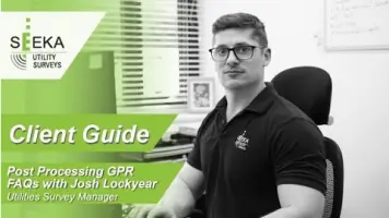
Our PAS 128 utility surveys identify and map underground services including water, gas, and electrical infrastructure. This critical information prevents damage during excavation and ensures safe project execution. We employ specialist detection equipment and GPR technology to deliver comprehensive subsurface data for utility management.
Setting Out
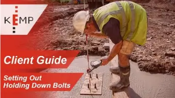
We provide precise setting out services transferring design plans to physical site locations. Our engineers mark key construction points ensuring accurate implementation of building and infrastructure projects. From small-scale developments to major civil engineering works, we offer flexible support to maintain project timelines and specifications.
UAV Surveys
Our UAV technology captures aerial survey data for progress monitoring and topographic analysis. This efficient method provides high-resolution imagery and 3D models for earthworks measurement and site inspections. We integrate drone data with traditional surveying to enhance project accuracy and documentation.
Deformation Monitoring
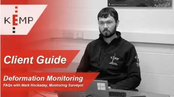
We implement deformation monitoring systems to track structural movements in buildings and infrastructure. Our precise measurements detect subtle changes over time, ensuring safety and compliance. This service supports maintenance planning and structural integrity assessments for critical assets.
People
Scott Kemp
Managing Director
Founder of Kemp Chartered Engineering & Surveying in 1988, Scott has over 35 years' experience in land and engineering surveying. He established the company's reputation for technical excellence and client-focused service delivery across the UK.
Questions
What surveying services do you offer?
We provide topographic surveys, utility mapping, setting out, UAV surveys, deformation monitoring, and measured building surveys across the UK.
How do you ensure survey accuracy?
We use ISO9001-certified processes, advanced equipment including 3D laser scanners and UAVs, and employ experienced chartered surveyors for all projects.
Do you work on large-scale projects?
Yes, we support major infrastructure developments with full lifecycle surveying, including the Eden Project and Kingsteignton By-Pass earthworks.
Can you handle urgent survey requirements?
Our team provides flexible support from short visits to full-time site engineers, with rapid response for critical project needs.
Are your surveyors qualified?
All our surveyors are RICS-regulated professionals with specialist training in latest surveying technologies and methodologies.
Do you operate outside Devon and Cornwall?
While based in Redruth and Exeter, we deliver surveying services nationwide with regional expertise and nationwide coverage.