
Business Details
37 Years
experience
Emergency
services
Professional Land and Building Surveyors in Hampshire
Established in 1989, Digital Terrain Surveys has built a reputation as a leading provider of professional surveying services across the UK and Europe. Based in Southern England, we combine cutting-edge technology with decades of industry expertise to deliver precise land and building surveys tailored to client needs. Our team utilises advanced total stations, GPS equipment, and sophisticated software to ensure accuracy in projects ranging from small private developments to large-scale commercial ventures. Every survey undergoes rigorous quality checks at quotation and contract stages by our Partners, guaranteeing efficient resource allocation and adherence to deadlines.We serve a diverse clientele including local authorities, architects, health trusts, and private landowners, maintaining strict compliance with health and safety regulations. Our commitment to innovation, next-day response for urgent requirements, and competitive pricing has earned us long-term partnerships and industry recognition. With over 30 years of experience, we continue to prioritise client satisfaction through reliable, high-quality deliverables in formats such as AutoCAD, PDF, and DXF.
Services
Land Surveys
Measured Building Surveys
Drainage Surveys
Golf Course Surveys
Holiday Park Surveys
Underground Utilities Tracing
Details
- Year established: 1989
Highlights and features
- We have over 30 years of experience in professional surveying services.
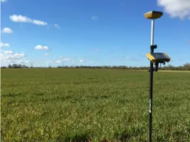
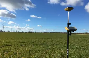
- Our team uses state-of-the-art GPS and total station technology.
- We provide tailored survey solutions for both private and commercial clients.
- Next-day response available for urgent survey requirements.
- Competitively priced with special rates for long-term clients.
What people say
Friendly, reliable service
Accurate and timely results
Highly recommend to others
Exemplary service quality
Proactive problem-solving
Services
Land Surveys
We conduct comprehensive land surveys using GPS and total stations to map terrain features and elevations. Our deliverables support planning applications, construction projects, and land management. Clients receive accurate AutoCAD files and paper plots tailored to project specifications.
Measured Building Surveys
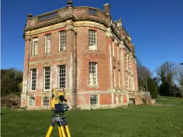
Our measured building surveys capture precise dimensions of existing structures using laser scanning technology. We produce detailed floor plans and elevations for renovation, extension, or asset management purposes. Deliverables meet architectural and engineering standards.
Drainage Surveys
We locate and map underground drainage systems using utility tracing equipment. Our surveys identify pipe routes, depths, and connections to support infrastructure projects. Reports help prevent costly excavation errors during development works.
Golf Course Surveys
Specialist surveys for golf courses and sports facilities capture undulations and features to aid course design or maintenance. We provide contour maps and digital terrain models compatible with landscaping software.
Holiday Park Surveys
We survey holiday parks to map plots, access routes, and amenities for planning or expansion projects. Our data supports layout optimisation while considering environmental constraints and regulatory requirements.
People
Jeremy Sayer
Director at PWP Architects
RIBA-registered architect with over 20 years of experience collaborating on topographical survey projects for complex developments.
Ben Taylor
Design Manager at Interserve
BSC-qualified manager who has commissioned multiple surveys for commercial construction projects in Southern England.
Andy Horwood
Development Technical Manager at Gleeson
Survey client with expertise in strategic land development and infrastructure planning requirements.
Questions
What survey services do you offer?
We provide land surveys, measured building surveys, drainage surveys, golf course assessments, holiday park surveys, and underground utility tracing.
How long have you operated?
We have delivered surveying expertise since 1989, serving clients across the UK and Europe.
What technology do you use?
We utilise total stations, GPS equipment, and advanced software for precise data collection and processing.
Do you handle urgent projects?
Yes, we offer next-day response for emergency survey requirements.
Can you provide project examples?
Our portfolio includes surveys for NHS estates, local authorities, architects, and private developments.