Business Details
Professional Surveying Services in West Sussex
Established with a commitment to precision and innovation, we specialise in topographical, building, and engineering surveying services. Our expertise spans over three decades, during which we have delivered accurate and detailed digital survey drawings to a diverse clientele across the UK and internationally. Utilising cutting-edge technology and advanced CAD software, we provide scalable solutions tailored to meet the needs of architects, developers, and local authorities. Our portfolio includes surveys for residential properties, commercial developments, and critical infrastructure projects. With a focus on efficiency and accuracy, we employ state-of-the-art equipment to produce 1:50 to 1:500 scale drawings, ensuring compliance with industry standards.Our teams extensive experience in mapping schools, hospitals, and municipal buildings underscores our reliability in handling complex sites. We prioritise client collaboration, offering nationwide coverage while maintaining the agility to adapt to unique project requirements. Our commitment to technological advancement is evident in our adoption of 3D laser scanning and 360 HDR photography for virtual site tours and asset management. By integrating digital workflows, we reduce site visits and enhance data accessibility for clients. This approach has solidified our reputation as a trusted partner in the surveying industry, serving both private and public sector clients with consistent, high-quality deliverables.
Services
Topographical Surveys
Building Surveys
360 Photography
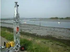
Engineering/Monitoring
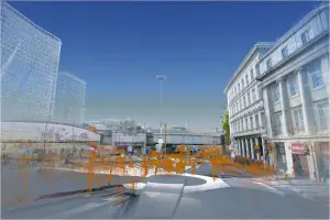
Laser Scanning
Highlights and features
- We have over 30 years' experience in surveying.
- Our nationwide coverage extends to international projects.
- We use state-of-the-art surveying equipment and CAD software.
- Our team delivers scalable solutions for diverse client needs.
- We prioritise accuracy and efficiency in all survey deliverables.
Services
Topographical Surveys
We conduct detailed topographical surveys to produce 1:100 and 1:200 scale site plans for development and planning applications. Our surveys capture terrain features, boundaries, and elevations using advanced equipment. Clients receive accurate digital drawings essential for construction and land management projects.
Building Surveys
Our measured building surveys create 1:50 scale floor plans, elevations, and sections for residential and commercial properties. Using laser scanning, we document existing conditions to support renovations, extensions, or compliance assessments. Deliverables include CAD drawings and 3D models for architectural planning.
Laser Scanning
Laser scanning captures precise 3D data for heritage sites, bridges, and mechanical installations. We generate point clouds, ortho-images, and fly-through animations for analysis and archival purposes. This remote technology ensures safety and reduces site revisit requirements.
360 Photography
Using HDR cameras, we create interactive 360 virtual tours and asset records. Applications include facilities management, condition surveys, and emergency planning. Data can be embedded with project documentation for enhanced site accessibility.
Engineering Surveys
We provide engineering surveys for utilities, highways, and municipal projects. Our services include utility mapping, deformation monitoring, and as-built verification. Surveys support construction validation and long-term infrastructure maintenance planning.
Questions
What surveying services do you offer?
We provide topographical, building, and engineering surveys, along with 3D laser scanning and 360° photography for virtual tours.
Do you work outside the UK?
Yes, we deliver surveying services internationally, supporting projects in diverse geographical and regulatory environments.
What technology do you use?
We utilise advanced total stations, laser scanners, and CAD software to ensure high accuracy and efficient data processing.
Can you handle heritage sites?
Yes, our laser scanning and photogrammetry techniques are ideal for documenting heritage structures and archaeological sites.
What deliverables can I expect?
Clients receive CAD drawings, 3D models, point clouds, and interactive virtual tours, tailored to project specifications.